- Home
- Atlas
- Information
- Maps
- Data
- Metadata
- Air Quality
- Links
This page was created as a repository for information regarding the Flint Hills Ecological Modeling Research project. The project, the development of a multi-model ecosystem simulator, is a collaborative effort headed by the USEPA WED and Region 7, and supported by individuals at Georgia Institute of Technology, the Marine Biological Laboratory, and Kansas State University. The information on this site is posted as a means of furthering the collaborative effort amongst the project's geographically diverse group of researchers. Requests for further information, data, or permissions can be made by contacting the webmaster. -Adam Skibbe
Project Presentations
09/21/06
KSU Project Presentation
11/14/07 Skibbe 2007 GIS Day Presentation
02/14/08 McKane NSF Riparian Zone Workshop Presentation
03/06/08 Modeling Overview Presentation
05/15/08 Modeling Overview for EPA Global Program Presentation
05/16/08 Flint Hills RARE Review Presentation
01/12/09 KSU Modeling Overview Presentation
11/14/07 Skibbe 2007 GIS Day Presentation
02/14/08 McKane NSF Riparian Zone Workshop Presentation
03/06/08 Modeling Overview Presentation
05/15/08 Modeling Overview for EPA Global Program Presentation
05/16/08 Flint Hills RARE Review Presentation
01/12/09 KSU Modeling Overview Presentation
Model Simulations
07/20/06
Kings Creek hydrograph simulation
07/20/06 Kings Creek hydrologic model units
05/02/07 Kings Creek hydrograph simulation 2
05/02/07 Kings Creek hydrologic model units - hillslope zones
05/16/08 Flint Hills hydrology simulation flash presentation
05/21/08 Konza Climate Drivers File
05/21/08 Konza Peak Ag Biomass 1984-1996 File
05/21/08 GEM Data Calibration File
01/12/09 Kings Creek Simulation Movie
Modeling Papers
Project Posters
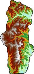
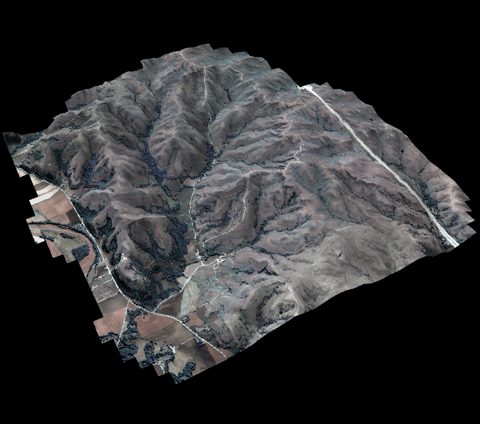
Konza and Kings Creek
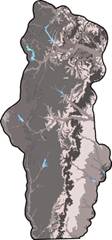
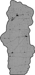
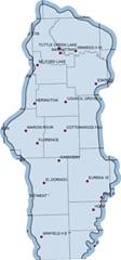
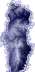
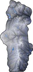
The Flint Hills
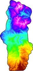
3D Images
|
|
|
|
|
|
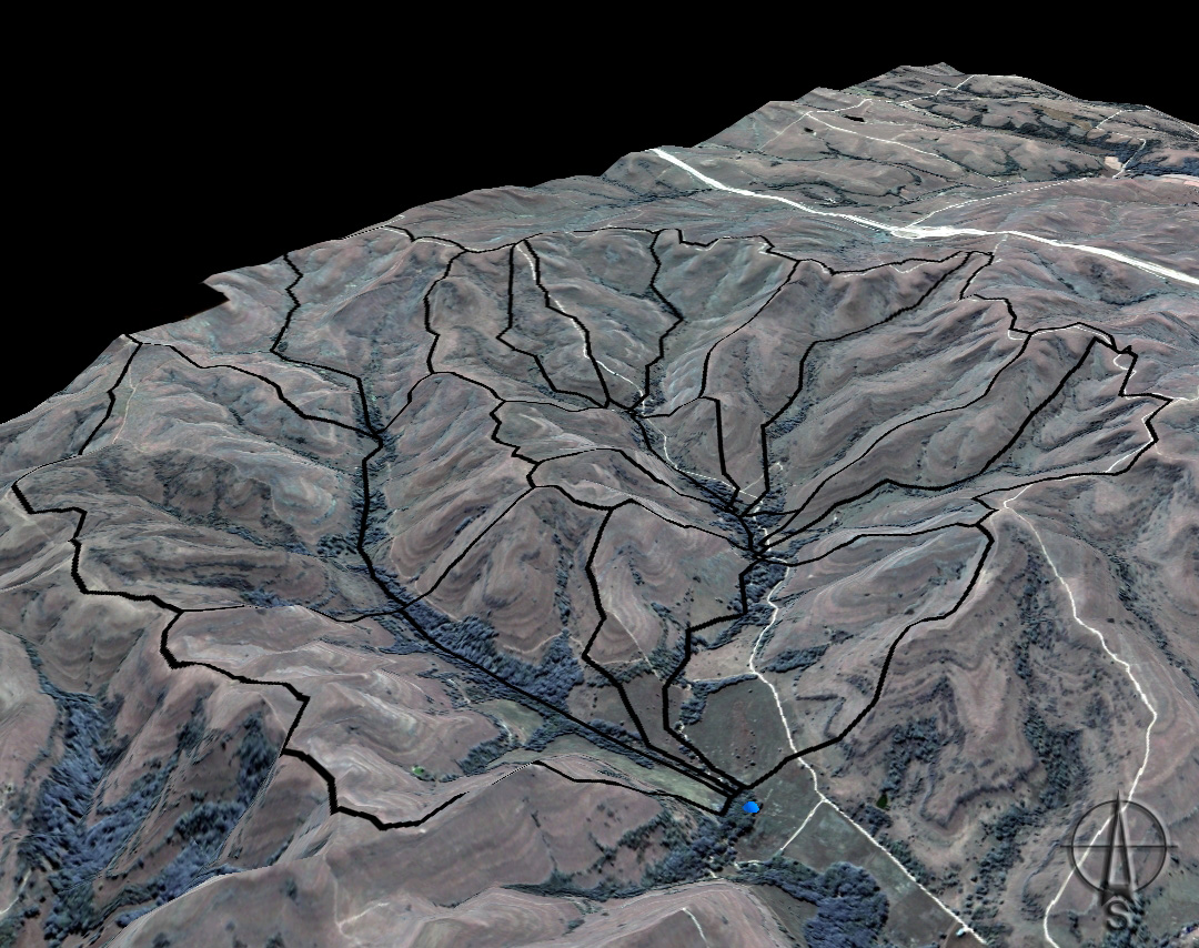
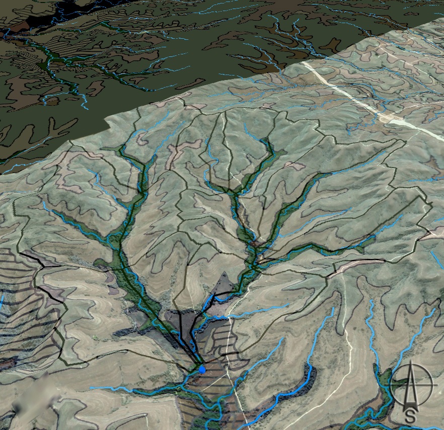
Kings Creek
|
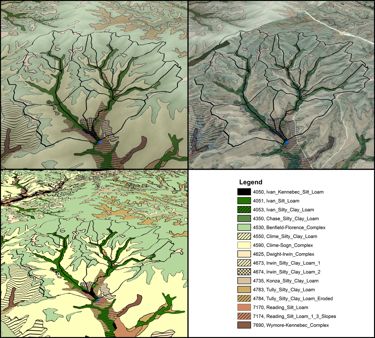
Kings Creek w/ Soils
|
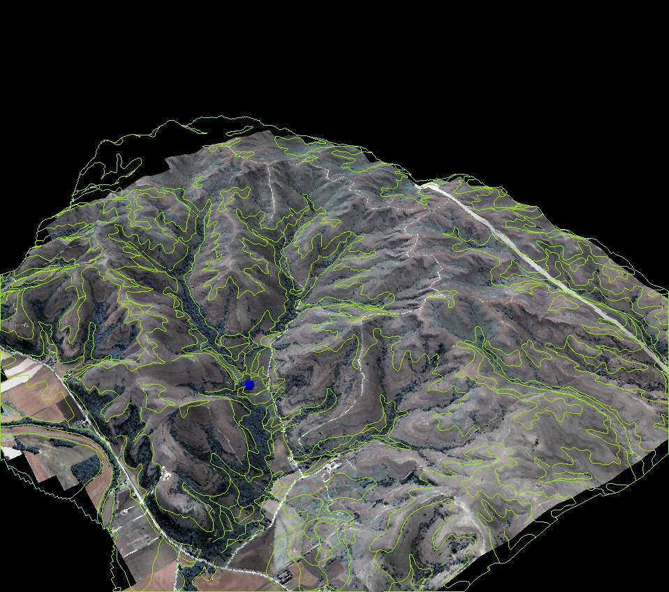
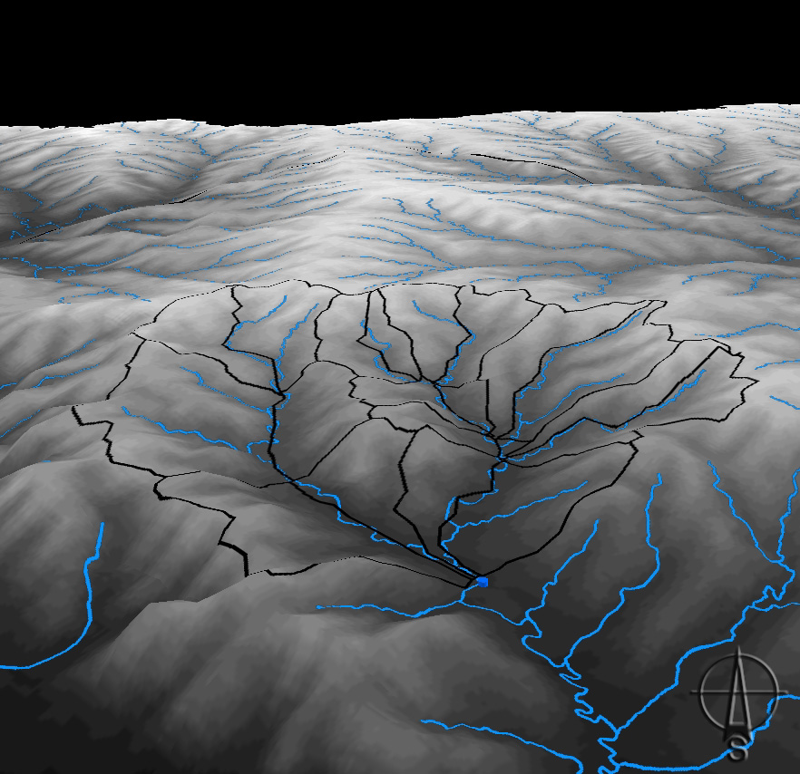
Model Units, DEM |
|
|
|
|
|
|
|
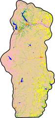
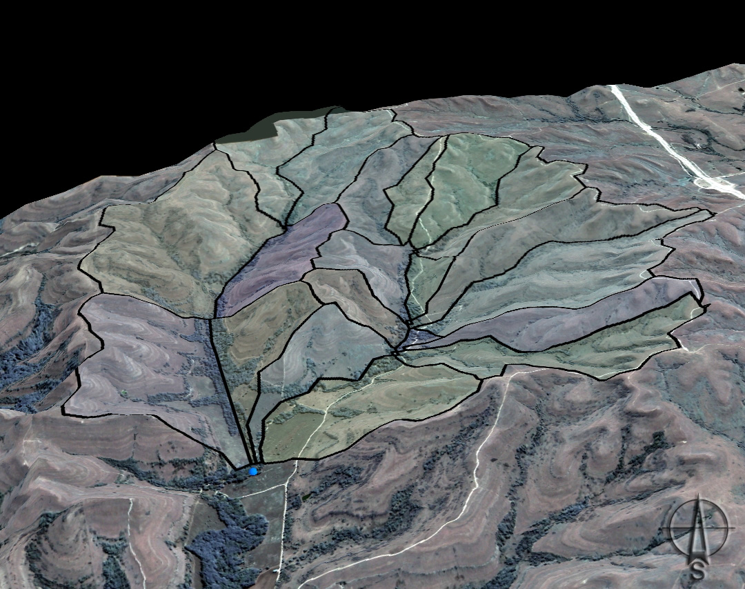
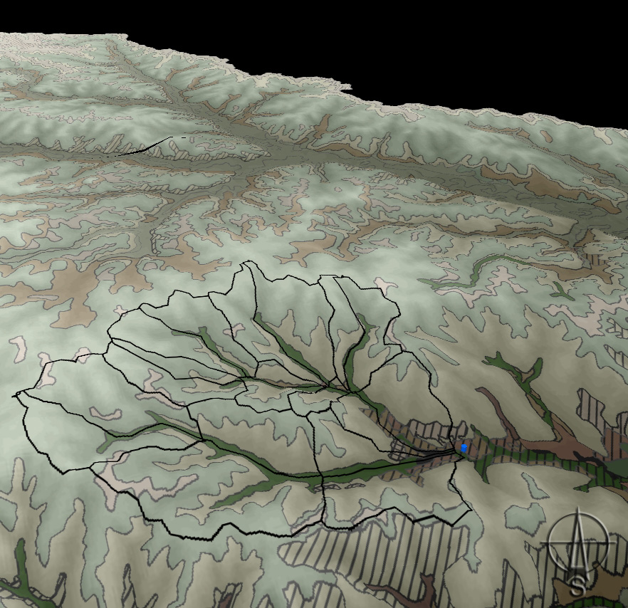
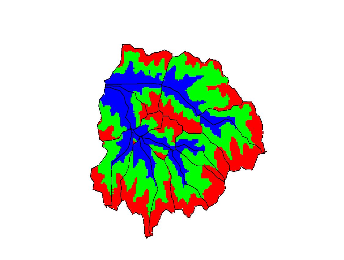
Model Units |
Color Model Units |
Color Num Model Units |
|
|
|
|
|
|
|
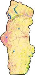
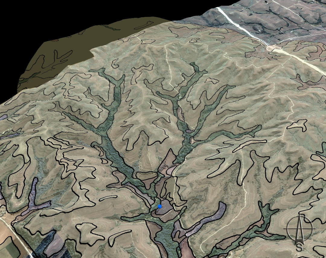
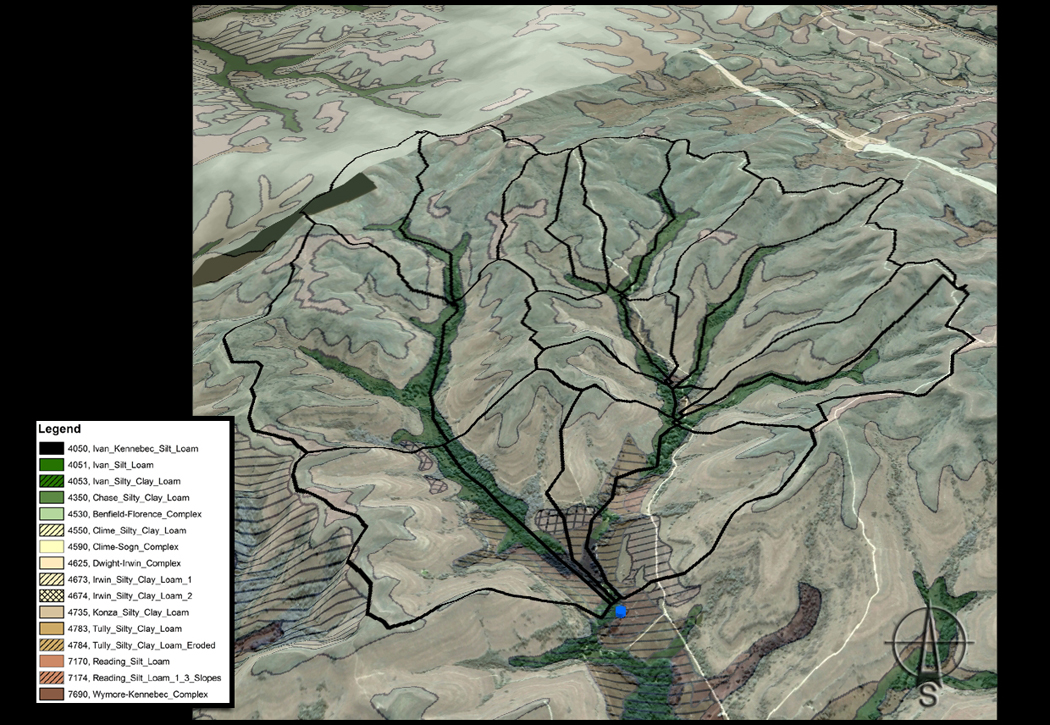
Soils |
Model Units Soils |
Model Units, Soils, Rivers |
|
|
|
|
|
|
|
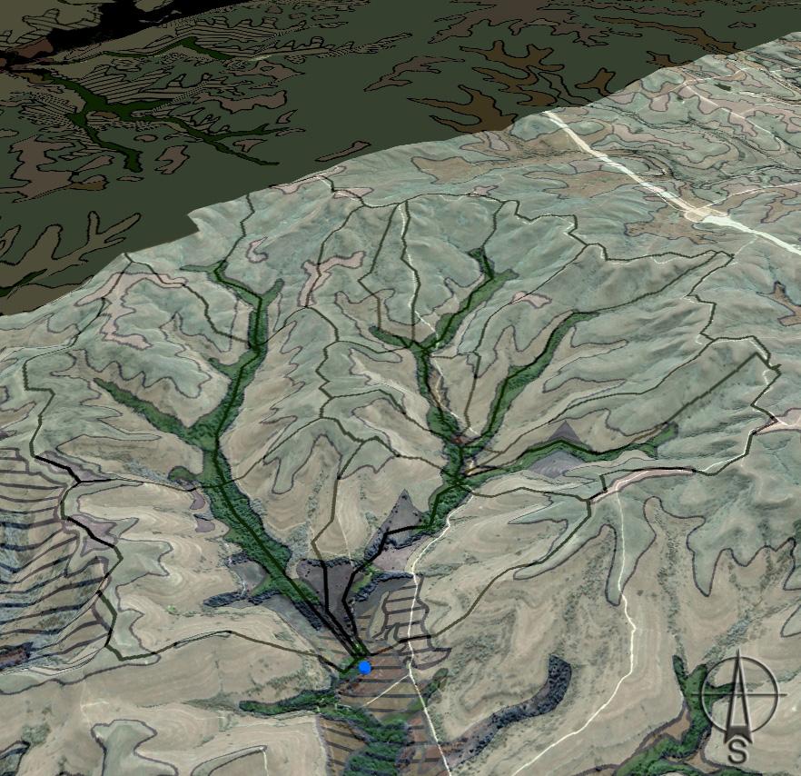
Model Units, Soils, DEM |
Model Units Soils, DEM, Rivers |
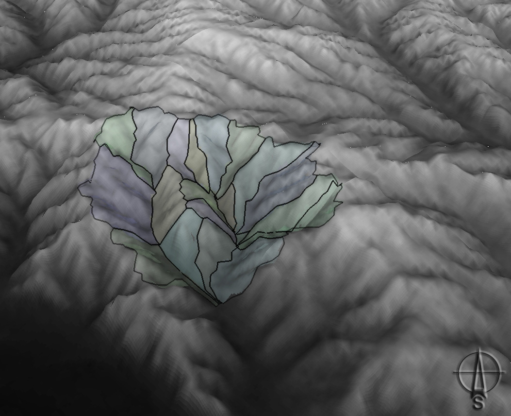
Model Units, Soils,
Legend
|
|
|
|
|
|
|
|
Model Units Soils Legend
Composite 2 |
|
|
|

Interactive .KML
| The .KML (Keyhole Markup Language) files below can be added to Google Earth or ArcGlobe to create interactive 3D maps (Metadata) These files are translated directly maps found on other pages of this site and are intended for educational purposes only. | ||||||||
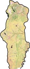
| Konza Boundary | B | Kansas Ecoregions | B | L | ||||
| Konza Watersheds (2000) | B | L | M | Kansas Counties | B | L | ||
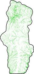
| Kings Creek Rivers | B | Flint Hills Ecoregion | B | |||||
| Kings Creek DEM | B | M | Flint Hills Counties | B | L | |||
| Kings Creek Soils | B | M | Flint Hills DEM | B | ||||
| Kings Creek Weir | B | Flint Hills Soils | B | |||||
| Kings Creek Grid | B | Incorporated Areas (FH) | B | |||||
| Model Units | B | L | M | Incorporated Areas (SW) | B | |||
| Model Sub-Units | B | M | ||||||
| * B = Basic, L = Labeled, and M = Map Representation ** Internet Explorer renames the above .kmz files to .zip, requiring them to be uncompressed before use. |
||||||||
Soils
Climate
02/06/07
Konza climate dataset Rev Metadata
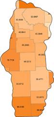
08/27/07 Precipitation Averages Graph
08/27/07 Precipitation Averages Graph
| Precipitation Graphs The below charts were derived from the Konza climate dataset AWE012 and supplemented with the Manhattan Regional Airport data to estimate missing values. Click for the original data in .xls or the metadata. |
||||||||||||
.... |
.... |
.... |
.... |
|||||||||
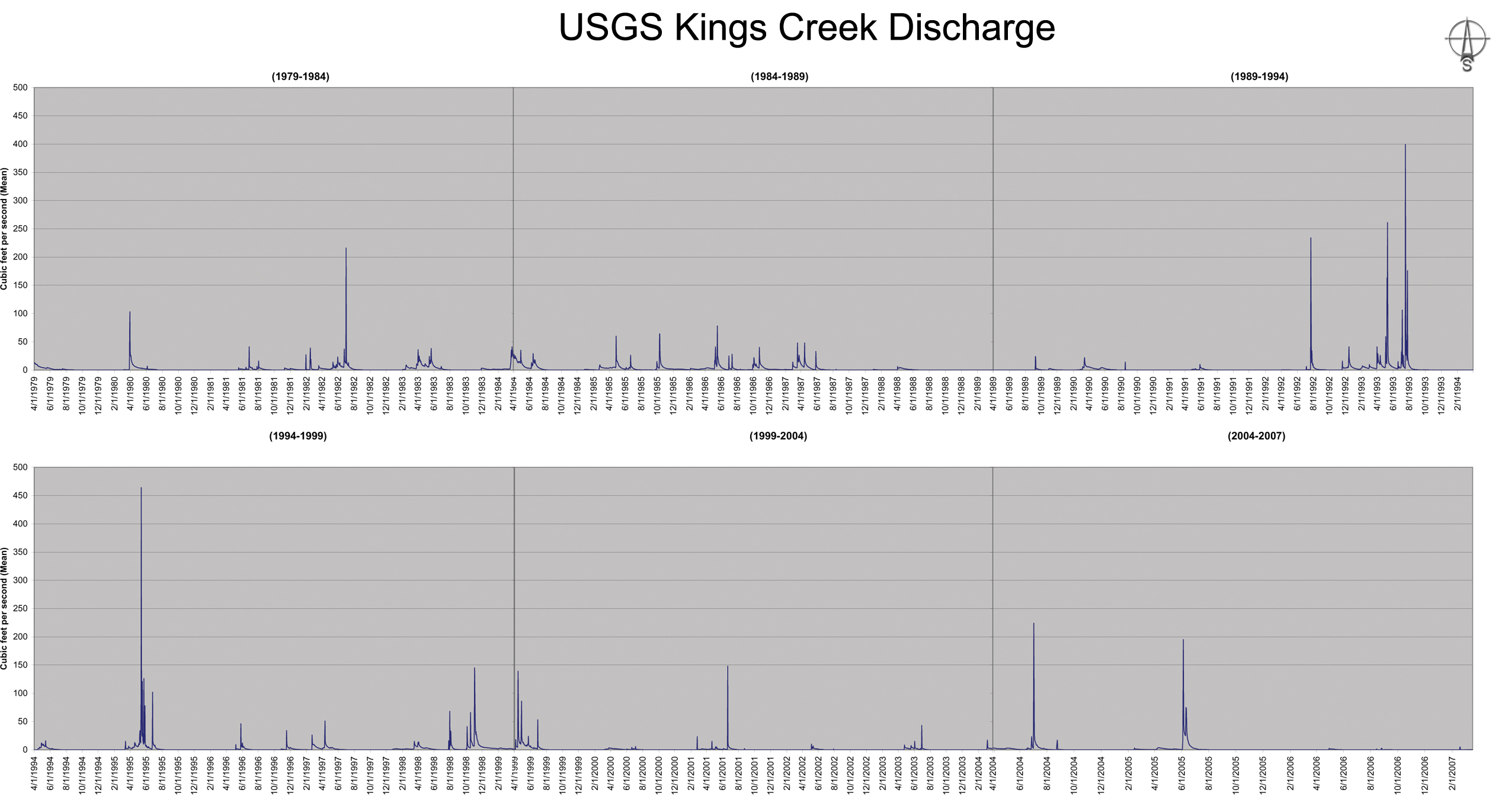
Hydrologic
01/29/07
Kings Creek station shapefile
02/02/07 HUC boundary DEM shapefile
03/27/07 Kings Creek Stream Discharge Data Excel
03/27/07 Kings Creek Stream Discharge Data Text
04/10/07 Kings Creek Stream Chemistry Data Metadata
02/02/07 HUC boundary DEM shapefile
03/27/07 Kings Creek Stream Discharge Data Excel
03/27/07 Kings Creek Stream Discharge Data Text
04/10/07 Kings Creek Stream Chemistry Data Metadata
| Kings Creek Hydrographs The below charts were derived from the USGS stream discharge data for the Kings Creek station #06879650. Click for the original data in .txt or in .xls |
||||||||||||
| Kings Creek Chemistry Graphs The below charts were derived from the Kings Creek chemistry data from the Konza LTER dataset NWC011. Click for the original data in .xls, the metadata, or a map representing the experimental watersheds in the Konza LTER. |
||||||
| N04D Waterhed (grazed by bison, 4 year interval) | ||||||
Land Cover
Other
01/25/07
Konza boundary and soils shapefiles
01/26/07 Konza plus Kings Creek 250m buffer
01/26/07 Konza plus Kings Creek 1km buffer
01/29/07 Konza calibration spreadsheet
02/02/07 Konza plus Kings Creek 250m DEM
02/02/07 Konza plus Kings Creek 1km DEM
02/07/07 3D test data
02/07/07 3D test DEM - old USGS format
02/26/07 Konza buffered roadways shapefile
02/26/07 Konza buffered water bodies shapefile
02/26/07 Konza buffered flowlines shapefile
10/05/07 Kings Creek LIDAR 2m DEM
Soils Metadata and Notes
Climate Metadata and Notes
Hydrologic Metadata and Notes
Developed Protocols
Other Metadata
Project Information
References
...
..
.
Data Links
Kansas Geospatial Community (DASC)
Konza LTER Data Catalog
GeoCommunity.com
USGS Kings Creek Watershed Data
Metadata Links
Konza Catalog Metadata
NRCS SSURGO Metadata
NRCS SSL Methods Manual
Other Links
Environmental Systems Research Institute(ESRI)
Geographic Information Systems Spatial Analysis Laboratory (GISSAL)
Konza Prairie LTER Program
United States Environmental Protection Agency
K-State GIScience Commons